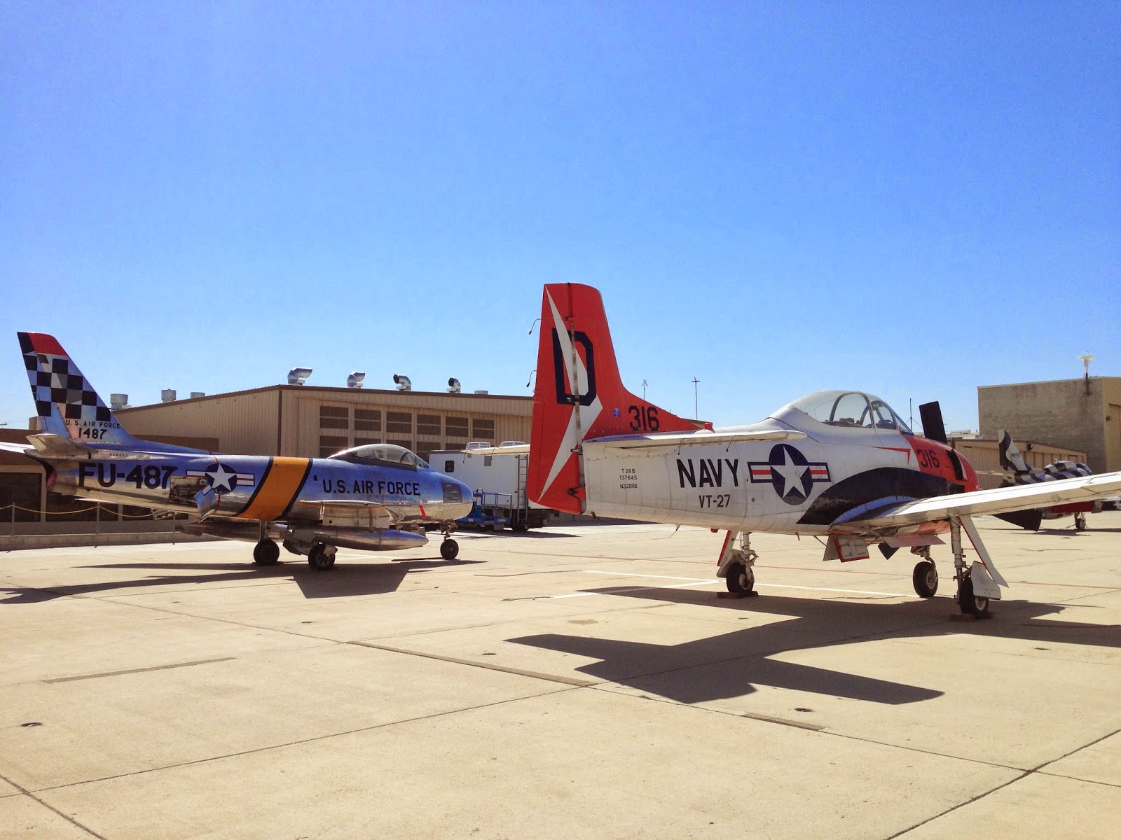
Sunday, 23 March 2014

Days 10 - 12. R&R, La Jolla (San Diego) and Night Flight

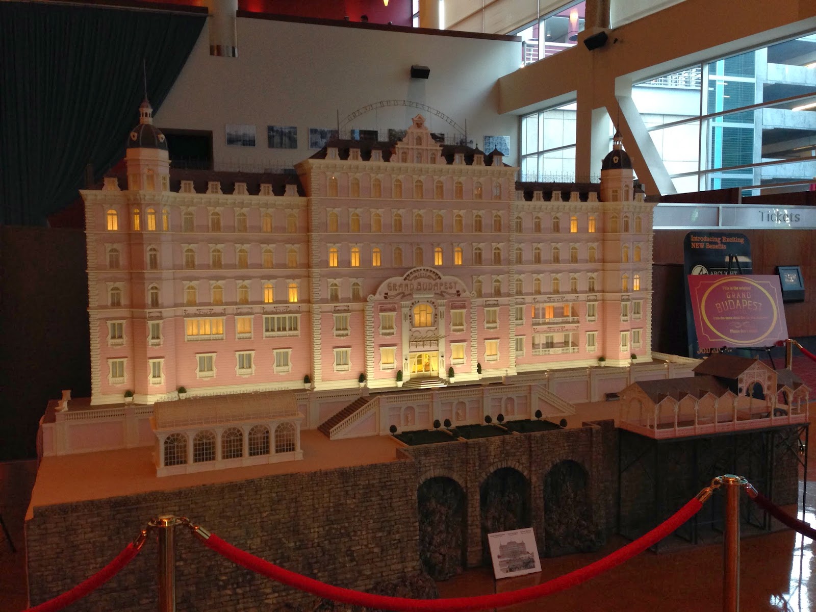
Original Grand Budapest Hotel Model

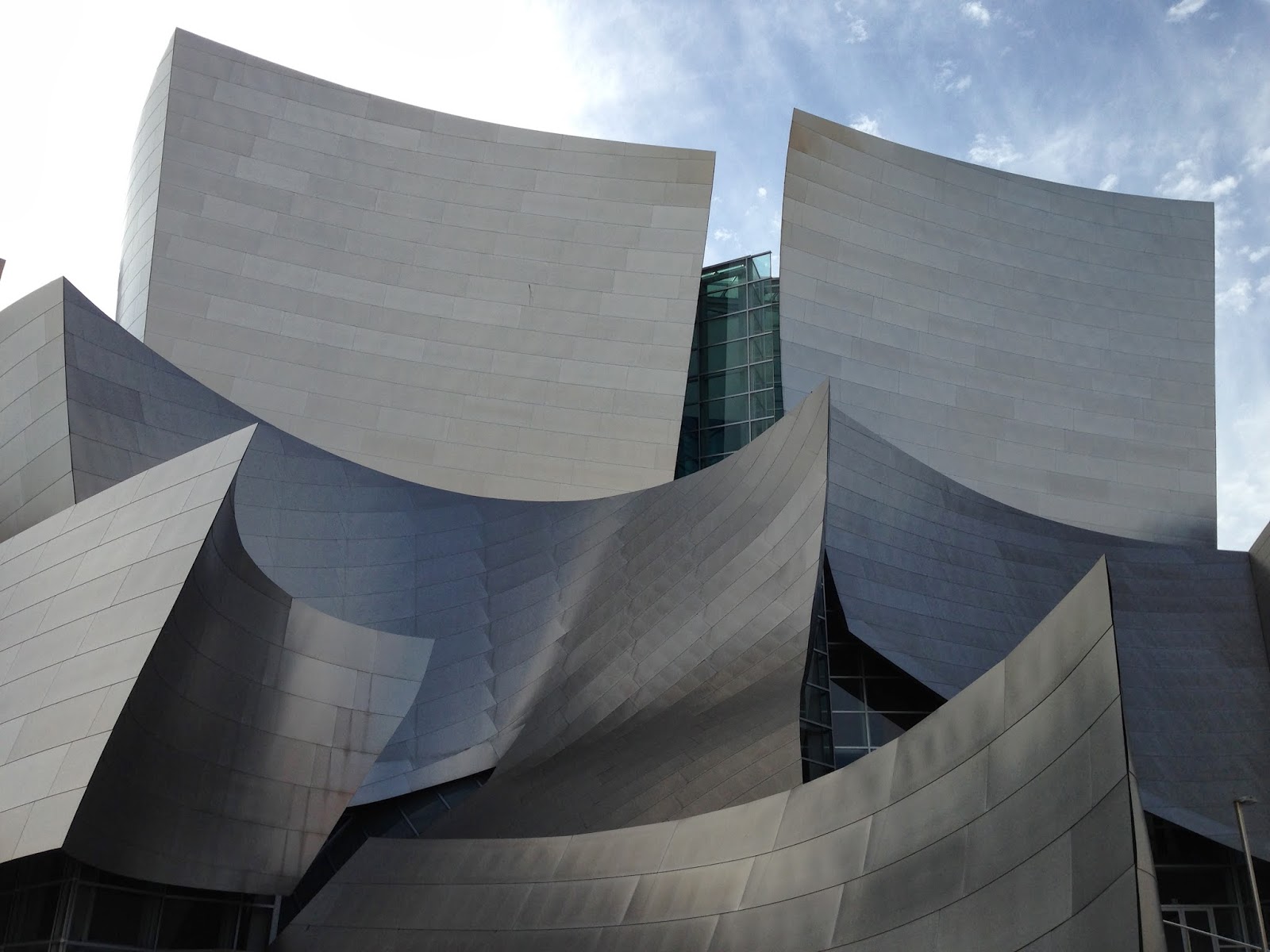
Walt Disney Concert Hall
After a relaxing day off on Thursday, when I checked out a famous double-dipped sandwich at Philippe's, the architecturally-stunning Walt Disney Concert Hall, and the beautiful old Cinerama Dome in Hollywood, I had a reasonably early start on Friday, to go down the coast to San Diego's Montgomery Field.


Confusingly this is not Seal Beach - it's just a beach with a lot of seals on!
This airport is just to the north of the city, and allows for easy access to the La Jolla part of the city. We visited La Jolla last year when we were in this area and I was keen to go back for lunch whilst I was here. During 2008 La Jolla had the highest average house prices in the entire US, so there are plenty of vast, sprawling mansions to be seen as you come over the coastline towards the field. There is also a huge Marine Corps base just to the north, which is restricted airspace, meaning a transition to the south over the ocean or to the north over the mountains. Due to low cloud, I was forced to take the ocean route, to stay away from the hard-centred clouds!


Vast Mansions at La Jolla


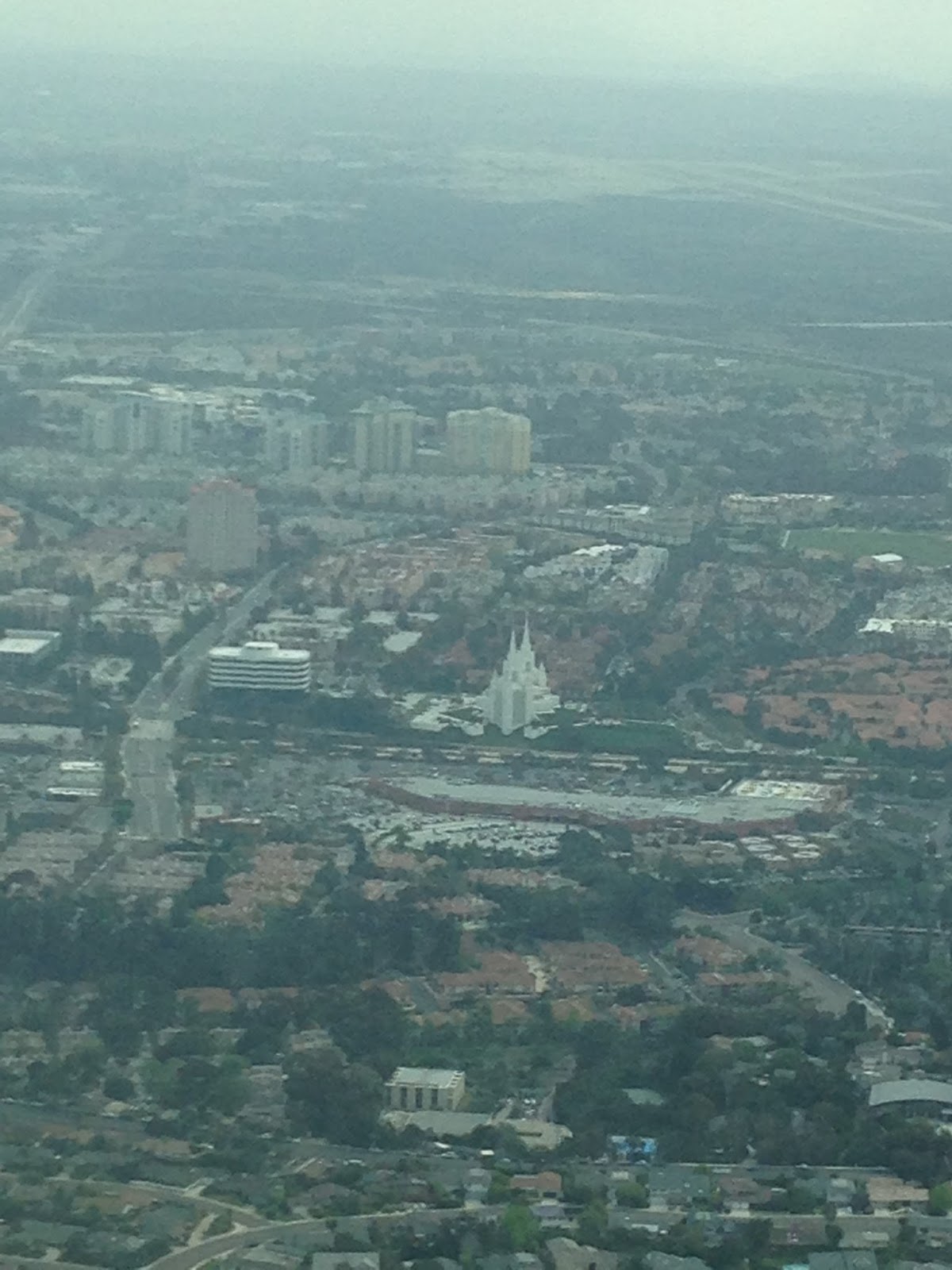
"San Diego Temple" near La Jolla


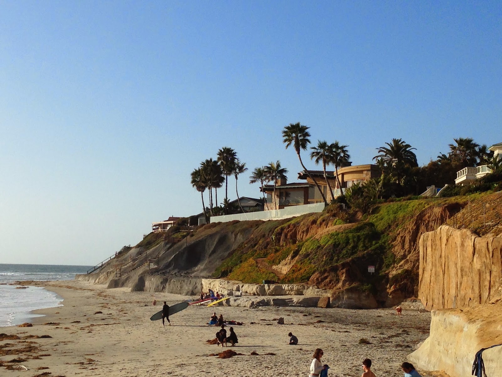
After landing at Montgomery Field, I grabbed the crew car and drove the 15 minutes to the coast, enjoying a walk along the beach, watching the seals resting on the rocks and sand, and a quick lunch and coffee as well as a huge Oreo-covered Caramel Dipped Apple, before flying back to Long Beach.
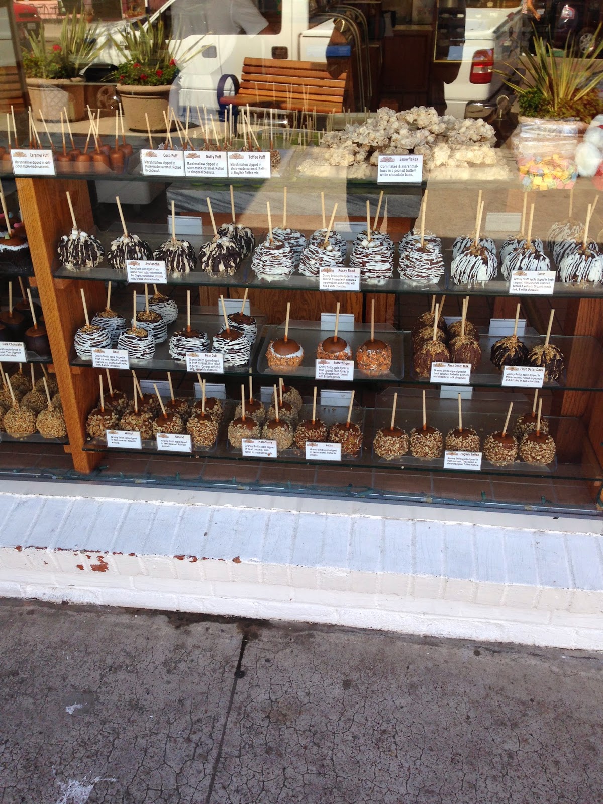
Everything covered Apples


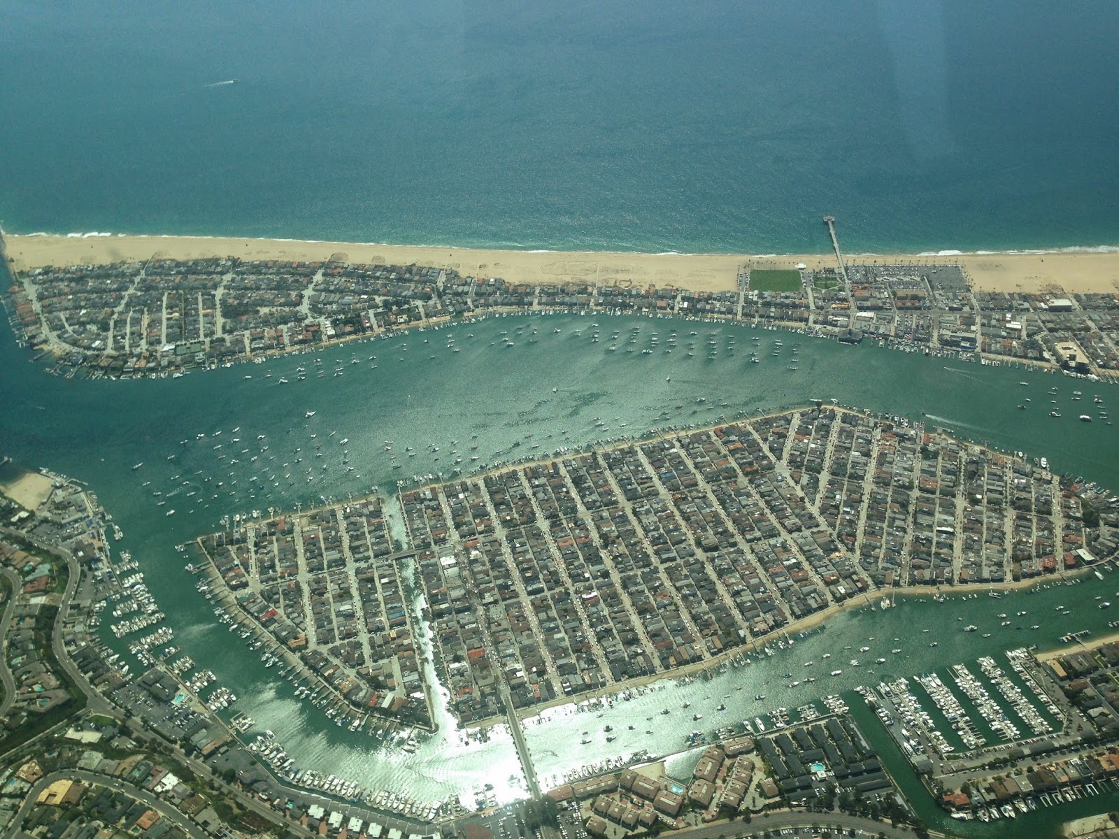
Balboa Island and Beach
On Saturday the aircraft was booked out for most of the day, so it wasn't until 4pm that I was able to taxy down to Runway 25L for my departure. I took a similar route to yesterday as my destination was McClellan-Palomar airport about 20 miles north of Montgomery Field. I had planned and requested to take the northern route past Camp Pendleton this time for a slight variation, however, despite a reported cloud base of 4500ft, shortly after take off as I transitioned the fantastically named John Wayne Airport's airspace at 3000 ft, I could see I wasn't going to get any higher, so requested a route change to the south over the ocean, and told them I would need to descend to 2500ft. They granted this request without question, even though I was in busy commercial airspace, which was helpful as the only other options were:
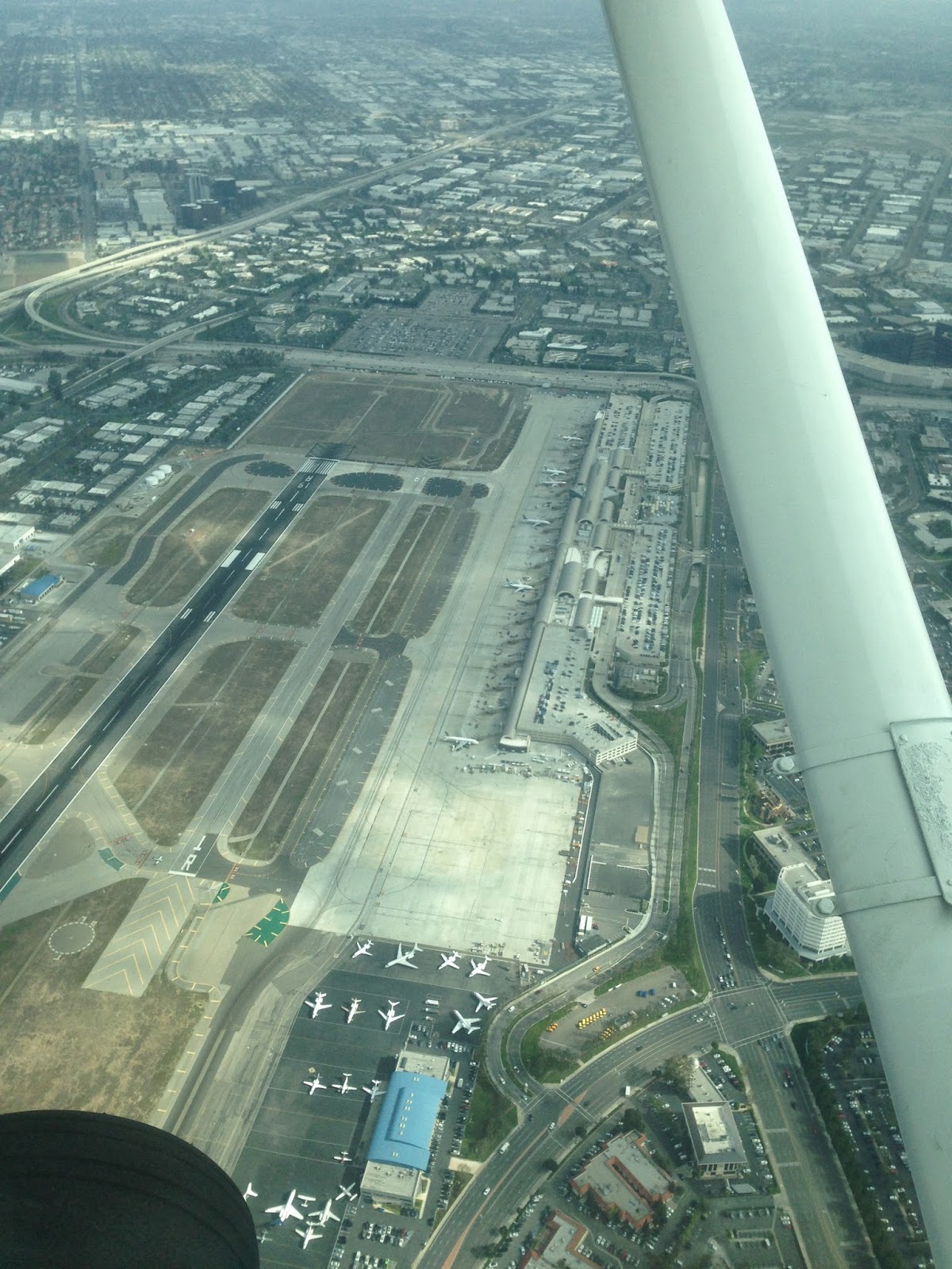
John Wayne Airport
a) go into cloud and try and reach "VFR on top", (i.e clear skies above the clouds), something which my IMC rating has trained me for, but is illegal for me to do outside of the UK, or

b) divert to the nearest airfield

As I got over the coast, I had to drop down to 2000ft, as the cloud base was still lower than reported where I was, despite my destination (just 20miles away) reporting clear skies. I had a brief moment of entering cloud, but was through it in seconds and out into clearer skies the other side. At this time, I dropped off of the SoCal Radar, and they asked me to transfer to the Camp Pendleton military controller, who kindly allowed me to skirt just inside the edge of their restricted airspace without shooting me down! There was an aircraft carrier just off of the coast, which I thought could make for an interesting landing spot, but decided against it!

Carlsbad 
Palomar Airfield is on a plateau which makes it a bit gusty, but fortunately a combination of the wind being straight down the runway and me having got a few more landings in since my attempt at Banning last week, meant that I had no problem landing gently.
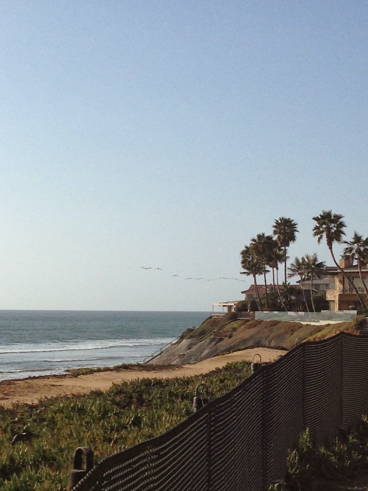

Carlsbad


Surfers on the beach at Carlsbad
I took the crew car down along the coast road in Carlsbad and sat on the beach watching the surfers brave the very cold ocean waves, as the sun set over the ocean, before stopping in at a fantastic sushi restaurant for some dinner. A guy who was sitting next to me, struck up a conversation and mentioned that his brother owns a full-motion Citation Simulator and that next time I was in town I should get in touch with him, and he'd let me have a session in it.
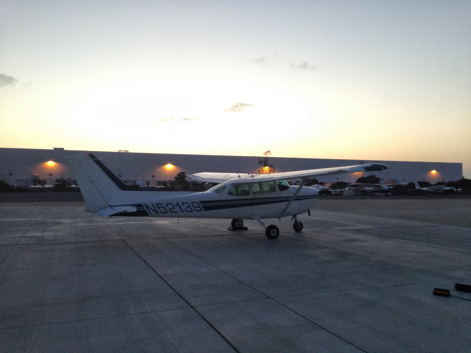
Night Flight


By the time I got back to Palomar, and paid for my fuel, it was official night (30mins after sunset), so I got my red lensed torch at the ready and prepared for my first US night flight back to Long Beach. Another minor drama (but all good practice) on the way back as I had a radio problem and could not reach the controller who I had been with since leaving Palomar. As I was getting close to John Wayne airport, I transmitted blind to them (in case they could still hear me) and told them I would change frequency to the John Wayne Tower, who fortunately could hear me loud and clear and told me that SoCal Approach had been in touch with them and told them they'd lost contact with me. I was approved to transition overhead their airfield, and 10 minutes later, I could see the lights of Long Beach airport, and a few minutes later was lined up for Runway 25L.

Friday, 21 March 2014

Days 8 & 9 - Mexican border & Beautiful Santa Barbara

Tuesday I had a long flight planned so was up early and ready to depart the airfield just after 8:30. The early morning cloud hadn't quite cleared but it was broken so I was able to fulfil the legal requirement of always being in sight if the surface. I had arranged to meet a fellow student for lunch in Palm Springs but wanted to get in a flight to the border first.

Above the clouds
Traffic Watch
Random Airstrip
Huge featureless mountains
Mexican Border
I climbed up to my cruising altitude of 7500 feet as soon as I departed Long Beach. The climb takes an age in a small aircraft - around 10-12 minutes at best rate of climb but soon I was trimmed and in smooth air tracking towards a VOR beacon. The beacon was on top of a mountain directly in front of me at 6100ft. Despite triple checking both the chart and the app for the height,it is disconcerting to be heading towards terrain that seems as if it is at the same height as you. Over the peak I was vectored around some skydivers although I couldn't see anyone in the sky and then the green mountain terrain dropped away to reveal flat desert with some random airstrips dotted around that seemed to have no other buildings around them. 30 minutes later I could see the river (or canal?) and the fence that separates the US from Mexico. The airport I was landing at (Calexico) soon appeared on the horizon and I touched down at the uncontrolled field a few minutes later after allowing an international flight to cut in before me. You can see the demarcation line and the crowded Mexican city on the other side of the airfield in the pictures. I was tempted to take a cab to the border just to say I'd done it but was a bit short of time to get up to Palm Springs so maybe next time.

Moon-like scenery
Mexico beyond the airfield
Disneyland closer this time
I was careful not to stray over the border, although I later learnt from my friend in Palm Springs (a helicopter Med-evac pilot) that one of his colleagues had flown 15miles into Mexico accidentally and only realised his mistake when the paramedic on board pointed out what looked like a bull ring! He did a 180 to return to the US but ATC hadn't even noticed - perhaps explains the Malaysia Airlines case a bit!

After taking on some fuel, I took off in a fairly strong crosswind before turning north towards Palm Springs avoiding the border Police drone planes and the Blue Angels (US Red Arrows) training area - neither of which I saw. Landing at the Jacqueline-Cochran Thermal Airport (same as yesterday) was easy on their huge runway. I regretted hitting the numbers (the beginning of the runway) and wished I'd landed long as I ended up having to taxy 80% of the length of the runway to the parking area.


Point Mugu Naval Base
 After lunch in a nearby restaurant, I had to taxy back the entire length of the runway to take off to the north and start my return journey to Long Beach. Another trip through the Banning Pass, this time at a smoother 8500 feet rather than the bumpy 6500 I'd tried the day before and after an hours flight I was back at Long Beach. I'd flown 350 miles and spent almost 4 hours in the air - both personal bests for one day - so was exhausted and took an early night.

Courthouse

 Today I had the aircraft for the same period (9-3) but this time planned a shorter flight with more time on the ground as I was a bit tired of just seeing airports and not getting out into the towns. I chose Santa Barbara as a destination having heard great things about this place from both pilots and non-pilots. The flight was just over an hour, passing over LAX, Malibu and a busy naval port (Mugu) and soon I was descending over the city for a left base arrival on runway 15. After a smooth landing I taxied to the Signature Aviation base, and as I bought fuel from them they waived the $35 ramp fee and provided me with a free crew car so that I could go into he town without paying for a taxi - another unique US general aviation bonus!

Santa Barbara Beach

Jets all around

Santa Barbara Historic Centre

Santa Barbara was as expected and reviewed - a beautiful coastal city, with lots of Spanish influence in the architecture. I took a walk along the pier and visited the authentic old courthouse which has a viewpoint on top of the clock tower with stunning views of the city, before filling up on tacos and heading back to the airport.
Government Aircraft
Huge Oceanfront Mansions


The departure from Santa Barbara is interesting as you take off straight over the shoreline, before tracking along the coast back to LA. A day off tomorrow means a well-deserved couple of drinks tonight.

Departure from Santa Barbara over the ocean

Tuesday, 18 March 2014

Days 7 & 8. Sightseeing, diversions & Disney

On Sunday I got two visitors today at the airport from Texas and the Czech Republic, so took them for a sightseeing tour around the LA basin. With three of us in the aircraft and a hot day, we were very slow to climb and had to circle before reaching our cruising altitude so as not to bust the Class B airspace. We passed over LAX and turned along the coast at Malibu, before turning back towards Beverly Hills, descending over Brentwood and Bel-Air and gawking at the huge houses in the hills.


Boeing 737 traffic 1000ft below me (centre)
Turning towards the west, we had to duck down to 1800ft to remain out of controlled airspace and after a great view passing the Hollywood sign we turned over Dodger Stadium and back towards Long Beach via downtown. We grabbed an awesome lunch afterwards, with the biggest burger I think I've ever seen, although I could barely move after eating.


C17 Globemasters at March ARB
 Monday I had planned to fly down to San Diego for the morning, but when I woke, I found a blanket of low cloud and fog was all down the coastline. I decided instead to head inland to Borrego Valley - a small uncontrolled strip near Palm Springs. The upper winds were fairly strong so I made good progress climbing up to 7500 feet and cutting through the Banning Pass with 10,000 ft peaks on either side of me. There was a fair bit of traffic so I had to be vectored a couple of times to avoid other aircraft descending into Palm Springs International, but soon I was 10 miles from my destination and ready to descend. I contacted the airport on their frequency but received the news that they were closed to traffic for the day. A good chance to plan a diversion in the air. As I was planning to go to another nearby airport tomorrow (Thermal) and had already studied the approach plates for it at the weekend, and as it also happened to be the nearest airport to me, I diverted there, and announced my intentions to join the pattern and land on the Common Traffic Advisory Frequency (CTAF).

 Thermal Airport is located at 150ft below sea level so it is strange to see the altimeter hit 0 while you are still in the air on your final approach. I followed a Pilatus PC-12 in the pattern - an 8 seater luxury single turbo propellor aircraft, and on the apron bumped into the pilot and got to take a look inside as well. 

Pilatus Cockpit
Pilatus Cabin
Pilatus PC-12
Gulfstream loading for departure


There were also a number of Gulfstream Jets on the tarmac, waiting to ferry their wealthy owners back from their Spring Breaks to their hometowns.

Gulfstream


Disneyland
I only had time for a quick stopover as I had to get the plane back for 1pm for the next renter, and as I saw one of the Gulfstreams getting ready to depart I wanted to get out ahead of them. The headwinds on the way back were up to 30kts at some points and the turbulence was quite strong (for a small plane) so I had to slow it up and ended up doing just 70kts ground speed which made the journey back take a lot longer than outbound. As I got back towards Long Beach, I did manage to get a quick shot of Disneyland, before making a straight in approach to land.
Snow-capped mountains in the Banning Pass


Departing Globemaster at March ARB


Sunday, 16 March 2014

Days 6 & 7 - G1000 and Spaceport

G1000 Avionics Suite
I was expecting a day off on Friday as the aircrafts were fully booked, but I got a call at 9am from the flight school owner, who asked me if I wanted to fly with him to a nearby airfield to pick up some parts. When I got to the airfield, even better news awaited as I found out it was equipped with the Garmin G1000 avionics system. This is probably the most advanced general aviation equipment on the market, where everything is displayed on 2 large iPad-sized screens in the cockpit. It takes a bit of getting used to, so an introductory flight with an instructor was hugely helpful and as he was going anyway, he didn't charge me.

The flight itself was short and uneventful over to Corona Municipal airport. After a quick trip to the parts shop, we were back in the air 45 minutes later and heading back to Long Beach.

Today was probably the best day in my flying "career". I was at the airport for a 12 noon departure as I had planned an hours flight up to Mojave Air and Space Port. This is the base from where Virgin Galactic are flying, as well as being a base for British Aerospace Engineering, and the USAF. It's also home to an airplane boneyard, so I got some fantastic pictures on the approach and departure.

4000m Runway 12 as I departed
Edwards AFB
The airport is just 10 miles or so from Edwards Air Force Base, which is a highly restricted area, so accurate navigation is critical to avoid getting intercepted for busting their airspace, which runs all the way from the surface to unlimited. Before leaving I got a telephone briefing for the route, which indicated relatively smooth conditions all the way, light winds at the destination and only two enroute warnings for unmanned aircraft at low-levels and unmanned rockets in the vicinity of Mojave......seriously! I pointed out to the guy on the phone that whilst I would be on the lookout for unmanned rockets, if one was headed my way, there wasn't going to be much I could do about it. My assigned altitude on the way was 7500 ft which is the highest I've been as well.

After a downwind circuit over the boneyard and a gentle landing on the huge, 4000m, space ship rated runway 12, I taxied to the apron, where they were just packing up from the fly-in they'd hosted. Fortunately there were still some of the aircraft on display, which I got to see up close. I also saw some experimental aircraft on the adjacent (restricted) apron.
Lining up on Runway 08 for departure


After a quick (huge) sandwich, and a trip to the gift shop, I was straight back in my plane, and taxying to the shorter 08 runway for departure.

Skypark
The wide flat expanse of desert has dozens of airfields of different sizes, including what they call skyparks where you have a runway and the taxy ways go straight to your front door.


Dodger Stadium with downtown LA
Boneyard
Runway traffic at Long Beach
Selfie in the C172 cockpit
As I got overhead Burbank, I started my descent from 6500 ft down to 2300ft to skirt under the LAX airspace, and got great views of downtown LA, the Hollywood Sign and the Dodgers Stadium. I was on the main LAX approach frequency for the last 10 minutes of the flight and it was amazing to hear the commercial jets on the radio coming in to land, whilst seeing them just a thousand or so feet above me, especially when I was given traffic warnings, such as "November 139 (me), traffic, 12 o'clock, crossing left to right, Airbus, 1000 feet above you", and then hearing the Virgin 07 pilot (the same flight I came in on last week), commencing his descent. Due to A320 traffic landing on the crossing runway, I was vectored onto 25R at Long Beach, which meant a long taxi back to the stand, but it's all good practice for navigating a large, busy airport. A great day, only dampened by Ireland's victory over France in the 6 Nations!
Experimental Nose on a DC10